It is often very useful to be able to locate individual sections, surveys and stations in a cave plot. The Viewer has a special tool that allows you identify, locate and highlight any survey or station in the cave image. To access this tool, select the "Tools->Find Survey/Station" option from the menu bar. This option is also available from the Main Screen’s Context Menu.
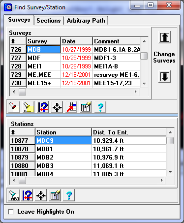
The Survey Location Tool. The Survey Location Tool consists of three parts displayed on three different “pages.” You can select individual pages of the notebook by clicking-on the corresponding “tab” at the top of the window. Each page displays a different list of cave features including surveys, stations and sections. As you select surveys, stations or sections from the list, the cave is highlighted showing the passages that correspond to your selection. Also, when you select a survey, station or section, the other lists are updated. This makes it easy to tell how the stations, surveys and sections relate to each other. Here is a detailed explanation of each page: