|
|
 |
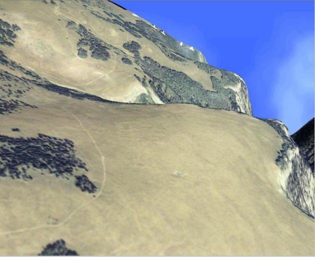
| High
Resolution Color Photographic Overlay |
|
 |
| The White
River Plateau. Here we are using a high
resolution aerial photograph to overlay the terrain. The color adds
an extra dimension to the terrain model. If it wasn't for the
vertical exaggeration, (which was deliberately set high), you might
think you were looking at the window of an airplane. This picture
shows the terrain flying along Deep Creek Canyon north of the
Glenwood Springs, Colorado (USA). |
|
|
|