Quad Maps
Quad maps are used to break up map into smaller more manageable segments.
They are often used in cave projects to share the work of drafting maps among
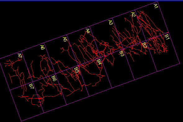
the participants. The following image illustrates a typical quad map.

This image shows a quad map for Groaning cave. In COMPASS the quads can be
any size, any number of rows and columns. As you can see the quad grid can
be rotated to match the cave. In addition, any conceivable number scheme
can be used including letter-number, number-letter, letter-letter and
number-number. Rows and Columns can be independently incremented or decremented
and can start with any values. This makes it possible to create any conceivable
quad scheme. |

